Your GIS Data Is Probably a Corporate Liability
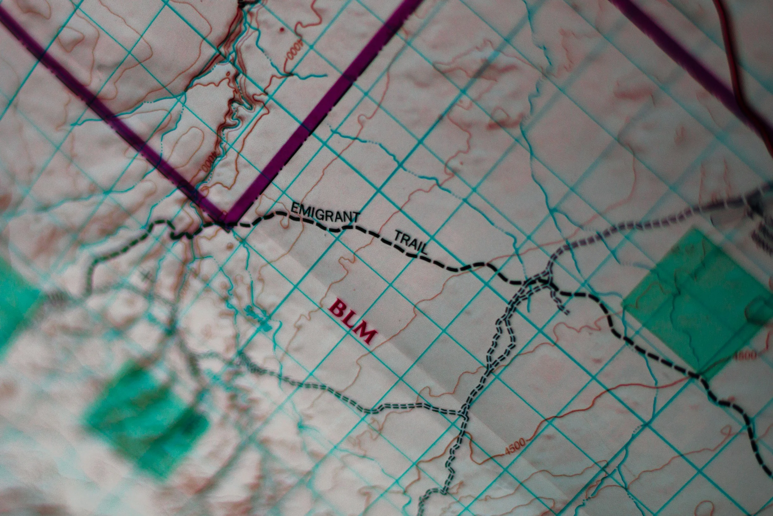
Map representing an non-digital asset containing a red-line boundary (Source: Unsplash)
Spatial data is one of the most undervalued assets in a mining company. Maps, point data, geological polygons, geophysics grids, remote sensing imagery -- the pile grows with every field season, every survey, every drill campaign. Companies spend real money on it.
So why does so much of it end up working against them?
Because data you cannot trust, cannot trace, and cannot audit is not an asset. It is a liability. And most exploration companies are carrying more of it than they realise. Multiple file versions. Untraceable edits by multiple users. The exploration data management problem is rarely visible until it is expensive.
The Four Ways It Goes Wrong
The first failure mode is decisions made on bad data. A mislocated drill collar. A coordinate reference system applied without understanding the transformation error it introduces. A GPS reading treated as precise when the inherent positional error is larger than the geological feature being mapped. These mistakes compound downstream. By the time they appear in a resource estimate or a corporate announcement, the damage is done.
The second is due diligence. When an acquirer or investor reviews your data, they are not just checking the numbers -- they are checking whether the numbers are trustworthy. Multiple file versions with no clear lineage. Edits that cannot be attributed or dated. Datasets that cannot be reproduced from source. A data mess does not automatically kill a transaction, but it introduces doubt. Doubt leads to price adjustments, penalty clauses, or a decision to walk away. Getting your data into shape before a raise or acquisition is one of the highest-return investments an exploration company can make.
The third failure mode is regulatory. Mining companies operate under reporting obligations, environmental permits, and compliance frameworks that depend on accurate spatial records. You may have complied at the time. But if you are asked to prove it and cannot produce consistent, auditable data, no amount of after-the-fact reconstruction will fully fix the problem.
The fourth is knowledge loss. If your GIS data lives on a project folder on someone's laptop, a USB drive, or a server with no backup policy, it is at permanent risk of disappearing. The geologist who built the database leaves. The IT system is migrated. The project is paused and restarts three years later. Without a central repository and documented links to all data locations, work done by one person or one team simply evaporates.
The Governance Gap
Four questions a director should be able to answer yes to:
1. Can you trace every key dataset to its source and know when it was last validated?
2. Is your GIS data stored and backed up in a way that would survive a staff departure or a hardware failure?
3. Could you hand your data to a third party for due diligence today and be confident in what they would find, without spending days preparing the package?
4. Do you know which decisions in the last 12 months relied on spatial data, and do you trust those datasets?
If the answer to any of those is no, or I am not sure, you have a liability that needs assessing.
One More Layer: AI and the Digital Reality Check
If you are planning to use your spatial data for machine learning or AI, the stakes are higher still. A database is not optional in that context -- it is the only way to maintain data integrity through the modelling process and to store the relationships, outputs, and metadata that the analysis requires.
It is also worth asking whether your data is genuinely digital or only pseudo-digital. By that I mean files that can be easily ingested and data extracted without further transformation. This problem can come up when uploading certain file types into certain popular AI tools and the tool rejects the file because it cannot be read.
PDFs that cannot be machine-read. Scanned maps that have never been georeferenced. Tables that exist but cannot be reliably ingested. These are not edge cases in exploration. They are common, and they require a structured remediation effort before any meaningful analysis is possible.
This is a Governance Project
Fixing this is not a technology problem. The tools have existed for decades. Open-source spatial databases are mature, affordable, and capable of enforcing the field completeness and version control that most GIS data currently lacks. What is missing is ownership: a person or team responsible for the data, a documented standard, and the organisational will to hold to it.
The companies that get this right find that due diligence becomes faster and less stressful, that decisions are easier to defend, and that their data actually compounds in value over time. The companies that do not tend to discover the problem at the worst possible moment.